(© vchalup - stock.adobe.com)
ALBANY, Calif. — California is experiencing a record number of earthquakes. In Long Beach and Seal Beach areas, seismologists recorded a thousand tiny tremors over eight months. The majority were shallow quakes reaching depths less than two kilometers below the surface.
Long Beach is no stranger to earthquakes. In 1933, the 6.4 magnitude earthquake gravely impacted the region and may have ruptured in part on the Newport-Inglewood fault (fractures between two blocks of rock). This past earthquake was six to 10 kilometers deep — far greater than the shallow ones seen today. However, constant shallow earthquakes could build up and create possibilities for an earthquake that reaches the surface. The regulatory zone surrounding the surface of active faults, called the Alquist-Priolo zone, span a minimum of 50 feet.
“Our results suggest the zone of high hazard at the surface may therefore be much wider than the Alquist-Priolo zone indicates,” the study authors write in a media release.
The authors used a tool called a dense nodal seismic array to detect shallow earthquakes. They placed three of them in the Long Beach-Seal Beach area. Each one of the arrays contains 100 sensors per square kilometer. For comparison, permanent regional seismic networks cover 0.1 station per square kilometer.
What is an earthquake?
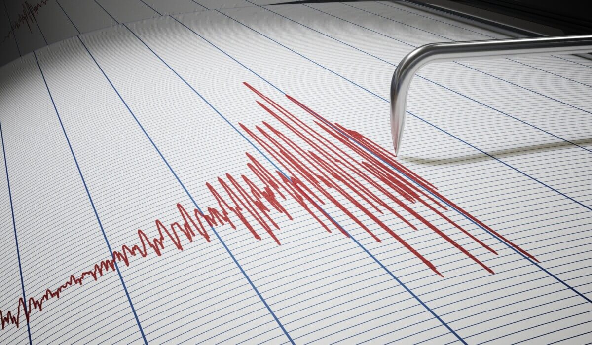
An earthquake is a sudden release of energy in the Earth’s crust that creates seismic waves. This release of energy occurs when tectonic plates, the large, rigid segments that make up the Earth’s lithosphere, move and interact with one another along fault lines. The movement and interaction can cause stress to build up within the Earth’s crust, and when this stress is suddenly released, it results in an earthquake.
Earthquakes can vary in size and intensity, ranging from minor tremors that are barely noticeable to catastrophic events that can cause widespread destruction and loss of life. The strength of an earthquake is measured using the Richter scale or the moment magnitude scale (Mw), with higher numbers indicating stronger earthquakes.
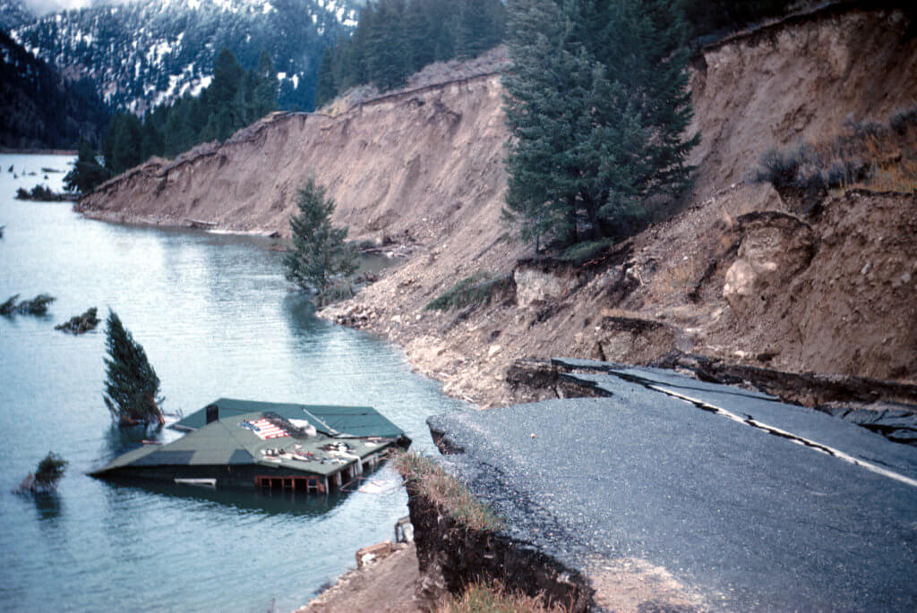
The shaking and ground motion caused by earthquakes can lead to a variety of hazards, such as landslides, tsunamis, and structural damage to buildings and infrastructure.
Scroll down to see the top safety tips during and after an earthquake strikes
Busy cities can cover up earthquake activity
One of the challenges with recording earthquake activity is city noise. The sound of construction work to cars can make it hard to detect very small earthquakes that are less than magnitude one. To filter out the excess noise, the study authors narrowed their seismic records to data recorded between 9 p.m. to 5 a.m. They detected 1,262 nighttime earthquakes, many of which were not captured from the larger regional network.
“The surprising aspect is the relative number of shallow events,” says Yan Yang, a Caltech researcher and co-author of the study, which appears in the journal Seismological Research Letter.
The study also identified new faults between the Los Alamitos Fault and the Newport-Inglewood Fault and north of the Garden Grove Fault. None of the small shallow earthquakes detected in the study were the result of oil and gas activity. Researching small and shallow earthquake across other faults in southern California could help with figuring out which regions are at risk for a potentially earth-shattering one in the future.
“The Newport-Inglewood fault along its entire length, as well as the whole Los Angeles Basin, could benefit from such studies,” says Yang. “This would help to see if there are faults that have not been detected with the permanent seismic network or through geologic mapping.”
Is quake insurance necessary?
Earthquake insurance is not required by law in California. However, because of the state’s high risk of earthquakes, homeowners should carefully consider whether they want to purchase earthquake insurance for their property.
If you are a California resident with a residential property insurance policy, your insurance provider is required by law to offer you earthquake insurance. It is up to you, of course to decide whether to accept or decline the coverage. Keep in mind that your mortgage lender may require you to carry earthquake insurance as a condition of your loan, especially if your property is located in a high-risk area.
When deciding whether to purchase earthquake insurance, consider factors such as the location of your property, the construction and value of your home, your financial resources, and your risk tolerance. Earthquake insurance premiums can be expensive, and policies may have high deductibles, so it’s essential to weigh the costs and benefits before making a decision.
California’s earthquake history
California has a long and complex earthquake history due to its location along the boundary of the Pacific and North American tectonic plates. Here’s a look at some of the most significant earthquakes in the state’s history:
- 1769 – San Juan Capistrano Earthquake: This unmeasured earthquake caused significant damage to the San Juan Capistrano Mission in Southern California.
- 1857 – Fort Tejon Earthquake: Estimated at a magnitude of 7.9, this powerful earthquake struck on January 9, 1857, along the San Andreas Fault in central California.
- 1868 – Hayward Earthquake: This 6.3 magnitude earthquake occurred on October 21, 1868, along the Hayward Fault in the San Francisco Bay Area.
- 1872 – Owens Valley Earthquake: With an estimated magnitude of 7.4, this earthquake struck on March 26, 1872, in the Owens Valley region of eastern California.
- 1906 – San Francisco Earthquake: This devastating earthquake occurred on April 18, 1906, with a magnitude of 7.9. It caused widespread destruction in San Francisco and resulted in over 3,000 deaths.
- 1933 – Long Beach Earthquake: A magnitude 6.4 earthquake struck the Long Beach area on March 10, 1933, causing extensive damage and leading to new earthquake-resistant building codes.
- 1952 – Kern County Earthquake: On July 21, 1952, a magnitude 7.3 earthquake occurred near Bakersfield, causing significant damage in the area.
- 1971 – San Fernando Earthquake: Also known as the Sylmar Earthquake, this 6.6 magnitude event struck on February 9, 1971, causing widespread damage and 65 deaths.
- 1989 – Loma Prieta Earthquake: A magnitude 6.9 earthquake struck the San Francisco Bay Area on October 17, 1989, causing 63 deaths and widespread damage, including the collapse of a section of the Bay Bridge.
- 1994 – Northridge Earthquake: This magnitude 6.7 earthquake occurred on January 17, 1994, in the Los Angeles area, causing significant damage and 57 deaths.
- 2003 – San Simeon Earthquake: A magnitude 6.6 earthquake struck on December 22, 2003, near the central coast of California, causing two deaths and damaging historic buildings in the area.
- 2014 – South Napa Earthquake: Occurring on August 24, 2014, this 6.0 magnitude earthquake caused damage in Napa and surrounding areas.
What should you do during an earthquake?
According to Ready.gov, an official website of the U.S. Department of Homeland Security, there are several steps you can take to make sure you make it out of an earthquake in one piece:
-
- When an earthquake starts, if you are in a car, pull over and stop. Set your parking brake.
- For those in bed, turn face down and cover your head and neck with a pillow.
- If you are outdoors, stay outdoors and away from buildings.
- If you are inside, stay where you are and do not run outside and avoid doorways.
- After the earthquake, expect aftershocks to follow the main shock of an earthquake. Be ready to drop, cover, and hold on if you feel an aftershock.
- If you are in a damaged building, go outside and quickly move away from the building. Do not enter damaged buildings.
- If you are trapped, send a text or bang on a pipe or wall. Cover your mouth with your shirt for protection and instead of shouting, use a whistle.
Predicting future seismic activity
There is no sure-fire way to detect earthquakes well ahead of time, but data scientists and seismologists have long been working to find signals and symptoms of seismic activity. In 2017, researchers at Northwestern University found that so-called “slow” earthquakes potentially lead to “regular” earthquakes. Slow earthquakes release energy at a gradual rate, stretching from hours to several months. What we consider to be “regular” earthquakes release energy much faster and suddenly.
“While the build-up of stress in the Earth’s crust is largely predictable, stress release via regular earthquakes is more chaotic in nature, which makes it challenging to predict when they might occur,” researcher Kevin Chao, who works in the Northwestern Institute on Complex Systems, said in a 2018 university release. “But in recent years, more and more research has found that large earthquakes in subduction zones are often preceded by foreshocks and slow earthquakes.”
In the study, which is published in the Journal of Geophysical Research: Solid Earth, authors examined a region in Taiwan with 100 seismic stations that have continuously recorded ground motion for years. They found evidence of deep tremors, or slow earthquakes that recur in cycles days or weeks long. To detect and monitor these deep tremors, Chao and his team created highly sophisticated algorithms and applied them to data collected from ten of the seismic stations in the area. They noticed deviations in the deep tremors’ behavior in the weeks leading up the major quake that struck Taiwan in March 2010.
“After the 6.4-magnitude earthquake occurred, we noticed a potential to study deep tremor near the event,” said Chao. “We identified the increase in tremor duration three weeks before the earthquake, but we initially could not draw conclusions because tremor rates increase all the time and for different reasons.”
But three years later, by comparing data from other seismic station and earth observatories, like global positioning satellites, with their their statistics and algorithms, the team showed that deep tremor pattern changes could signal an impending earthquake nearby. To be sure, the authors looked at four other earthquakes and found similar preexisting conditions and patterns ahead of the quakes.
The findings could lead to more interest in this theory and perhaps to better quake predictions in the future. “Much more data analysis of these tiny but fascinating tremor signals is necessary,” said Chao, “before mid- to short-term earthquake forecasting become reliable.”


Why were the 120 deaths in the Long Beach earthquake left out?