
(Photo by MISHELLA on Shutterstock)
In A Nutshell
- A major study of 42 years of data shows severe winter storms have shifted northwest, away from the traditional snow belt.
- This shift is linked to changes in the polar vortex, which now wobbles westward more often, targeting the Pacific Northwest and northern Rockies.
- La Niña cycles may be boosting the westward pattern — 64% of recent winters showed La Niña-like conditions.
- Communities from Montana to Washington may need new infrastructure plans to cope with more frequent extreme cold, snow, and power grid strain.
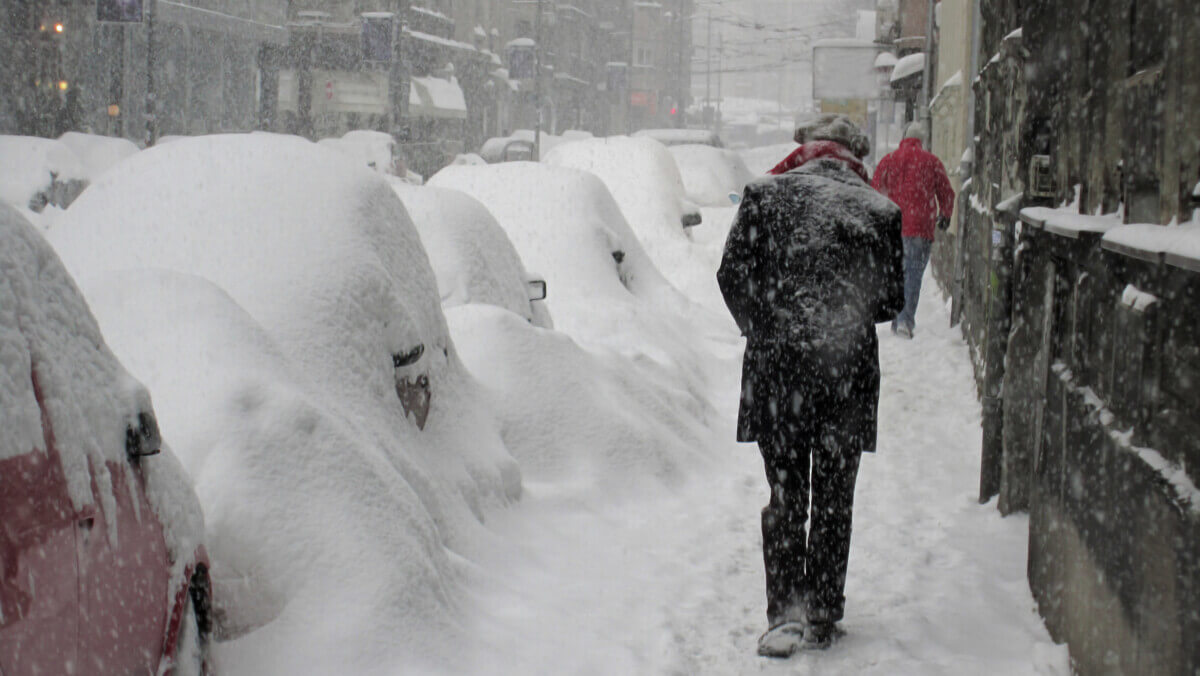
LOWELL, Mass. — Americans expecting the worst winter weather to slam the East Coast might need to look northwest instead. A major study spanning four decades reveals that severe winter storms are shifting away from traditional snow belt regions toward the Pacific Northwest and northern Rockies, potentially changing where Americans should brace for brutal cold and heavy snow.
The culprit? Changes in the polar vortex, that massive, spinning ring of cold air that sits high above the Arctic. When this atmospheric giant wobbles in different directions, it determines which parts of America get pummeled by winter’s worst conditions.
Scientists analyzed 42 years of weather data and discovered two distinct polar vortex patterns that each deliver misery to different regions. Since 2015, one pattern has become dramatically more common, explaining why places like Montana and Washington are seeing more severe winter weather while traditional East Coast snow zones experience somewhat less.
Two Patterns, Two Very Different Winters
Researchers identified five polar vortex behaviors, but two stand out for their ability to create havoc across America. According to the study, published in Science Advances, the first pattern “features an upper-level vortex displaced toward western Canada and linked to northwestern U.S. severe winter weather.” The second “features a weakened upper-level vortex displaced toward the North Atlantic and linked to central-eastern U.S. severe winter weather.”
When the polar vortex tips westward, states like Montana, Idaho, and Washington bear the brunt of winter fury. When it shifts eastward, areas from the Great Lakes down to the Southeast get hammered instead.
The mechanism involves atmospheric waves that bounce between the upper atmosphere and ground level, amplifying weather patterns and making them more extreme. Scientists call this “stratospheric wave reflection,” which is essentially nature’s way of turning up the volume on winter weather.
The Great Winter Weather Migration
Since 2015, severe winter conditions have been migrating northwestward across the country. The research shows “a northwestward shift in severe winter weather across the US is concurrent with an increase in the frequency of the westward-focused variation relative to the eastward-focused variation.”
Communities in the Pacific Northwest and northern Rockies that historically dealt with milder winters now face more frequent extreme conditions. Meanwhile, areas that typically prepared for brutal winters, from New England down through the Mid-Atlantic, are seeing their severe weather expectations shift.
The study notes that recent U.S. cold extremes occurred “in the winters of 2009/2010, 2013/2014, 2014/2015, 2020/2021, and 2024/2025,” demonstrating these new patterns in action across different regions.
La Niña’s Hidden Influence
The research uncovered a connection between these shifting patterns and La Niña cycles — periods when Pacific Ocean temperatures drop below normal. The western-focused pattern that brings severe weather to the northwestern U.S. occurs more often during La Niña conditions.
Since 2000, La Niña events have become more frequent, potentially explaining why northwestern states are experiencing more severe winter weather. The study found that “64.3% of the January to February 2008 to 2021 Oceanic Niño Index values” were negative during this period, indicating La Niña-like conditions.
Pacific Ocean temperature changes create ripple effects throughout global weather patterns, influencing how the polar vortex behaves and where it sends its worst weather. Rather than just measuring temperature drops, scientists examined comprehensive winter severity using an index that combines temperature, snowfall, and snow depth. This approach captures the full impact of winter weather events that shut down cities, strain power grids, and create dangerous conditions for millions.

The northwestern pattern particularly excels at producing severe snowfall, while the central-eastern pattern delivers both extreme cold and heavy snow. These differences matter enormously for emergency preparedness, infrastructure planning, and energy grid management.
Despite overall warming trends from climate change, the study notes that “episodes of extreme winter cold and snow continue to occur in many of these mid-latitude regions.” Winter weather events continue occurring with similar intensity — they’re just happening in different places.
Communities in the Pacific Northwest and northern Rockies may need to invest more heavily in winter weather infrastructure, while traditional snow belt regions should remain vigilant as the eastern pattern still occurs regularly. The polar vortex’s wandering behavior reshapes where winter hits hardest, demanding new approaches to preparation that match atmospheric realities. As these patterns continue evolving, Americans from Seattle to Syracuse need awareness of how shifting polar vortex behavior affects their winter weather expectations.
Disclaimer: This article summarizes findings from Cold-Air Outbreaks in the Continental US: Connections with Stratospheric Variations (Agel et al., Science Advances, 2025). The study describes statistical trends in weather patterns over four decades; it does not predict specific future storms. Readers should always consult local weather forecasts and official emergency guidance when preparing for winter weather.
Paper Summary
Methodology
Researchers analyzed 42 years of winter weather data (1980-2021) from NASA’s MERRA-2 reanalysis, focusing on January and February conditions. They used K-means clustering techniques to identify five distinct patterns of polar vortex behavior by examining geopotential height anomalies at two atmospheric levels (10 hPa and 100 hPa) over the northern polar cap. The study incorporated multiple weather variables including temperature, snowfall, snow depth, and atmospheric wave patterns, and used the reanalysis-based Accumulated Winter Season Severity Index (rAWSSI) to measure winter weather severity across different U.S. regions.
Results
The analysis identified five polar vortex patterns, with two specifically linked to severe U.S. winter weather: one bringing extreme conditions to the northwestern U.S. and another affecting the central-eastern U.S. Since 2015, there has been a significant northwestward shift in severe winter weather patterns, with the northwestern-focused pattern becoming more frequent relative to the eastern-focused pattern. The study found strong connections between these patterns and El Niño/La Niña cycles, with La Niña conditions favoring the northwestern pattern. Both patterns involve stratospheric wave reflection, but occur at different times relative to weather events.
Limitations
The study’s 42-year timeframe (1980-2021) may not be sufficient to fully understand relationships with decadal climate features like the Pacific Decadal Oscillation. The relationship between El Niño/Southern Oscillation and polar vortex states has been shown to be weak over this time period and might involve complex nonlinear relationships that require longer datasets to fully understand.
Funding and Disclosures
This research was supported by multiple National Science Foundation grants, National Oceanic and Atmospheric Administration grants, Department of Energy funding, and European Union Horizon 2020 research programs. The authors declared no competing interests. All data needed to evaluate the study’s conclusions are available through the paper, supplementary materials, and publicly accessible databases.
Publication Information
Agel, L., Cohen, J., Barlow, M., Pfeiffer, K., Francis, J., Garfinkel, C. I., & Kretchmer, M. (2025). “Cold-air outbreaks in the continental US: Connections with stratospheric variations,” Science Advances, 11, eadq9557. DOI: 10.1126/sciadv.adq9557. Published July 11, 2025.


In the last 5 ski seasons there has averaged less snow in the Big Sky Country.
As a lifelong resident of the Southeast, the less cold, the better.
Polar vortex seems to be a synonym for the shifting of the magnetic pole of the Earth. The sun shifts magnetic quadrants on a regular basis as well, hence affecting ours, but people on our planet like to call it climate change and place blame on…whomever…
strange how could this weather article be done as Trump supposedly fired all the weather people
What a strange article. I live in the Northwest…..and it seems to me the exact opposite has been happening. ????????
I live 150 miles North of Seattle in Vancouver, BC. I don’t understand why we here have had several years of warmer than normal Winter weather, with barely any snowfall. I perfer the old fashioned seasons with a difference of weather among them!
Well Archie, I live in Vancouver as well and the milder weather is very welcome for me. Keep the snow in the mountains, dump it on Whistler or Seymor, but off the roads and city. Rain is easier to deal with than snow
Change is The Only Constant.
Good!!!!!!!! Bon Voyage & keep going!!!!!!! Let them get a taste of it!!!!!!!!